AllTrails helps you find trails.
Outmap helps you find terrain.
If you live for contour lines, avalanche forecasts, and ski tours—not park strolls—then you already know the difference.
Features
outmap
AllTrails
3D Terrain Visualization
Backcountry & Ski Touring Tools
Offline Mapping
Community Trails & Reviews
Imagery Choice
Interface Style
Primary Audience
Pricing
See the Landscape, Not Just the Path
AllTrails is about following routes other people have done.
Outmap is about seeing the terrain before you touch it.
Tilt, zoom, and rotate the map in real 3D to understand slope, exposure, and safety before you head out. Plan with precision, not guesswork.
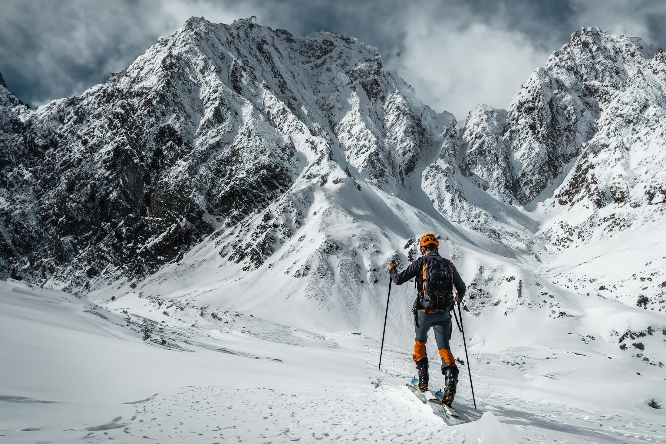
The Backcountry Difference
- Avalanche terrain analysis built into every map
- Slope and aspect layers for winter planning
- True 3D rendering for route visualization
AllTrails is for picking hikes.
Outmap is for planning adventures.
Multiple Satellite Sources
Switch between imagery providers to find the clearest view of snowfields, glaciers, and summer trails.
Outmap gives you control—AllTrails gives you one static image.
Less Noise, More Clarity
Outmap keeps your screen focused on what matters: the mountain.No pop-ups, no social feed, no ratings, no noise—just fast, professional-grade mapping that works offline anywhere on Earth.
Download Outmap Today
Ready to move beyond the trailhead?
See the world in 3D. Plan like a pro.
Go where AllTrails ends.


